Monday, July 23, 2012
| ||
| Destination: Sunrise Starting Location: Mystic Camp | Today's Miles: 10.60 Trip Miles: 94.00 | |
Today I completed the Wonderland Trail! It was one the best days of my journey! I woke up early and I saw the beautiful sky again!
Mystic Lake
   
Winthrop Glacier
   From Granite creek the trail climbed up above treeline to some of the biggest views of Rainier that I had seen the entire time! To the right of the trail was a large herd of mountain goats grazing on flowers. I climbed up a little closer to get a picture with them and Mt. Rainier behind them.      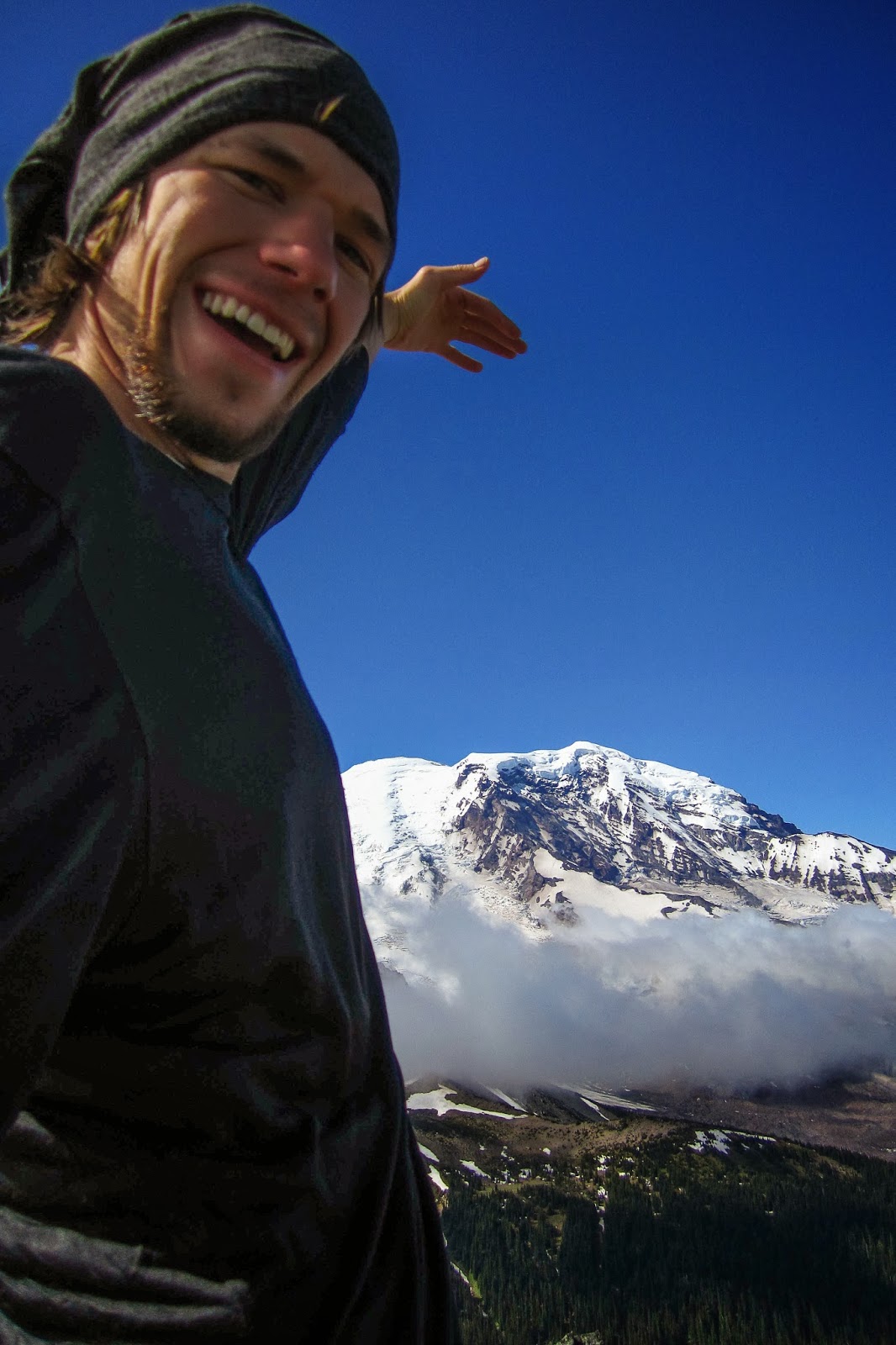  I took the long route back to Sunrise via Sunrise camp and a nice lake nearby in order to complete the trail in the same spot that I started it. Supposedly there was a bear in the area, but I didn't see it.  Before I knew it I was back to the sign where I had started the trail. I took a picture next to the sign and began heading back to the parking lot. Another amazing experience was complete!  | ||
Saturday, November 23, 2013
Wonderland Trail Day 6: Mystic Camp to Sunrise
Wonderland Trail Day 5: Eagles Roost to Mystic Camp
Sunday, July 22, 2012
| ||
| Destination: Mystic Camp Starting Location: Eagles Roost | Today's Miles: 12.40 Trip Miles: 83.40 | |
Today was a good day. Not too many miles and hiking up in the high country. It was still cloudy most of the day and it began to rain in the afternoon.
 Spray Falls 
Next I climbed up into Spray Park. There were nice flowers, but the fog still clung to the area. For the most part I was able to stay on the trail.

One time, I ended up on another trail that was taking me directly towards Rainier. The clouds cleared momentarily and I had a spectacular view.

I decided that I should probably make my way to the correct trail. The east side was much steeper and I ended up just running down big snow fields. It was great fun! There were some tracks to follow but sometimes I just went my own way.After a long descent, I made it to Carbon River and crossed a big bridge.

Then it started to rain again, but it wasn't as hard this time as before Longmire. I climbed up to Dick Creek where I took a little break and ate some food. There were some tents set up there, but I didn't see anyone. Then I was off to Mystic Lake. It was so foggy at the lake that I barely knew it was even there! I camped by some nice ladies who asked me about the snow conditions on the way to Sunrise. Unfortunately that was the only section of trail the I was yet to complete!
| ||
Wonderland Trail Day 4: N. Puyallup to Eagles Roost
Saturday, July 21, 2012
| ||
| Destination: Eagles Roost Starting Location: North Puyallup | Today's Miles: 16.50 Trip Miles: 71.00 | |
Today was another beautiful day in the clouds! While there was no rain, I probably missed out on a few nice views. All the more reason to return!
Campsite near North Puyallup
  
Golden Lakes

Mowich River

Once there, I saw a NPS worker already there working on the bridge. I could barely hear him over the water but he said that it was going to be awhile. I told him that I would just find a spot to cross myself and that's just what I did. I found a spot with some big rocks that I used to help me resist the current and just walked right across. There current was pretty swift but my trekking poles gave me good stability.
 From there I headed towards Mowich Lake, however, I wasn't sure if I wanted to go there or if I wanted to try the Spray Park alternate route as I had originally planned. When I came to the junction, I met some day hikers who told me the it was beautiful and that they had done it last year. So I decided to go camp at Eagle's Roost. I passed many more day hikers on the way, even one man who plans to hike the whole trail with his son next summer! So exciting! | ||
Wonderland Trail Day 3: Paradise River to N. Puyallup
Friday, July 20, 2012
| ||
| Destination: North Puyallup Starting Location: Paradise River | Today's Miles: 23.10 Trip Miles: 54.50 | |
I knew this was going to be a long day so I was up by six and on the trail soon after! First I was to do a short descent to Longmire. I was a little more than halfway there when the rain decided to come and nearly everything would be wet for the next three days! I made it to Longmire where I was able to set-up my pack to try to keep everything dry using my GG polycro groundsheet as a pack cover since I discovered my umbrella didn't sufficiently cover my pack. The rain did have some positives: the temperature was very cool making it easy to preserve energy and there were no mosquitoes to eat me!   I soon made it to Devil's Dream and from there I found some more snow up to Indian Henry's Hunting grounds. The fog certainly gave a new perspective to my journey. I was able to catch a glimpse of the bottom portion of the mountain just as I left.  Today I passed multiple groups of hikers hiking Wonderland Trail. I met some Russian guys who said they were the ones who had created the tracks on Panhandle gap and I snuck up on a group of three other guys!  
Emerald Ridge
      I finally made it to North Puyallup camp after a long day, but I think I ended up camping not in the actual campsites. The sign said that individual sites were .1 mi down the trail so when I saw it split I went to a nice clearing by a rock wall. I presumed this to be the campsite, however, it turns out the campsites were across the bridge and in the woods. I got a much better view out of my confusion! | ||
Wonderland Trail Day 2: Indian Bar to Paradise River
Thursday, July 19, 2012
| ||
| Destination: Paradise River Starting Location: Indian Bar | Today's Miles: 17.40 Trip Miles: 31.40 | |
Today was another spectacular day on the Wonderland Trail! I began by climbing up from Indian Bar. There was still some snow but I had little difficulty with navigation due to the help of my GPS!    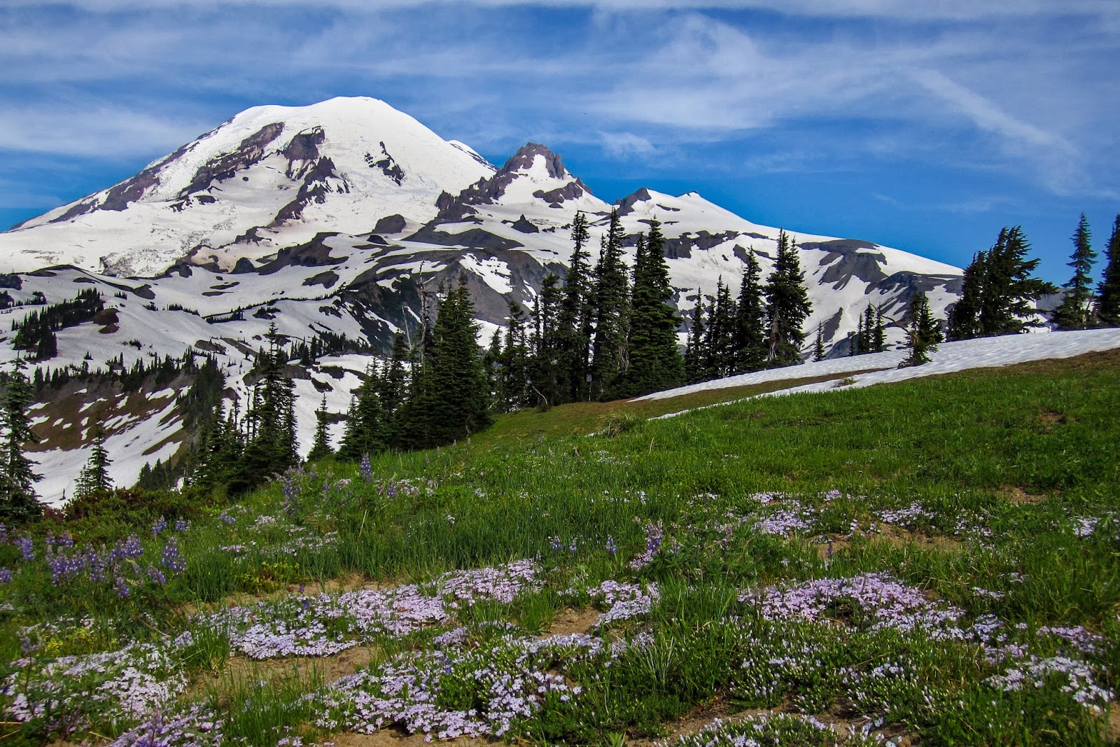
Box Canyon
     
Reflection Lakes
 it was a quick descent to Paradise River camp where I got to try out my new Zpacks hexamid tent for the first time. First night in tent meant first rain! It performed well and I was able to stay dry even though one side is really only mesh. I propped up my golite umbrella on that side and set up my emergency poncho as a makeshift wall. The setup worked well!  | ||
Subscribe to:
Posts (Atom)