August 21-23, 2015
~ 40 miles roundtrip
Of all the national scenic trails, I have currently hiked the most miles on the North Country Trail, a 4600 mile trail from North Dakota to New York (soon Vermont). Whether it be beautiful segments in the Boundary Waters Canoe Area Wilderness (Border Route Trail, Kekekabic Trail), along Lake Superior's beautiful shoreline (Superior Hiking Trail, Pictured Rocks National Lakeshore), or in Michigan's Lower Peninsula (Manistee River, Jordan River Pathway), the NCT has provided exceptional backpacking opportunities.
I will have time to hike a significant portion of trail this summer and coming fall in Michigan's northern Lower Peninsula. Section hiking the NCT's established trail in the Lower Peninsula is becoming a realistic goal.
This hike between Petoskey State Park and Van Road includes great variety including Lake Michigan, scenic inland lakes, paved rail trail, short road walks, excellent single track, and hardwood and pine forests. To the north of this section is an extended road walk to Wycamp Lake and to the south a previous hike on the NCT between Petoskey and Chandler Hills.
See the map below:
I began my hike near Petoskey State Park at Spring Lake Park. This would allow me to hike north along the paved NCT and a short road walk and enter the Mackinaw State Forest for a place to camp. It would also allow me the ability to complete sufficient miles (including backtracking) to still be on state forest land for camping the next night.
Spring Lake

There was an impressive boardwalk and it even had a board directing me to the North Country Trail.


On the NCT, I came to Mudd Lake.

The NCT travels on the North Western State Trail, a 32 mile trail from Petoskey to Mackinaw City.


The trail passes Round Lake and there was a great view.


As I continued on the trail there were a few bikers and runners passing me. It wasn't that crowded though.

Soon I reached the turn off and joined North Conway Road. Looking back to Crooked Lake.

There were some nice flowers along the road walk.


After ~1.5 miles I turned onto Kipp Road. The clouds were interesting.


I made it to the trailhead and grabbed an informative brochure about the trail to come and signed in at the register.

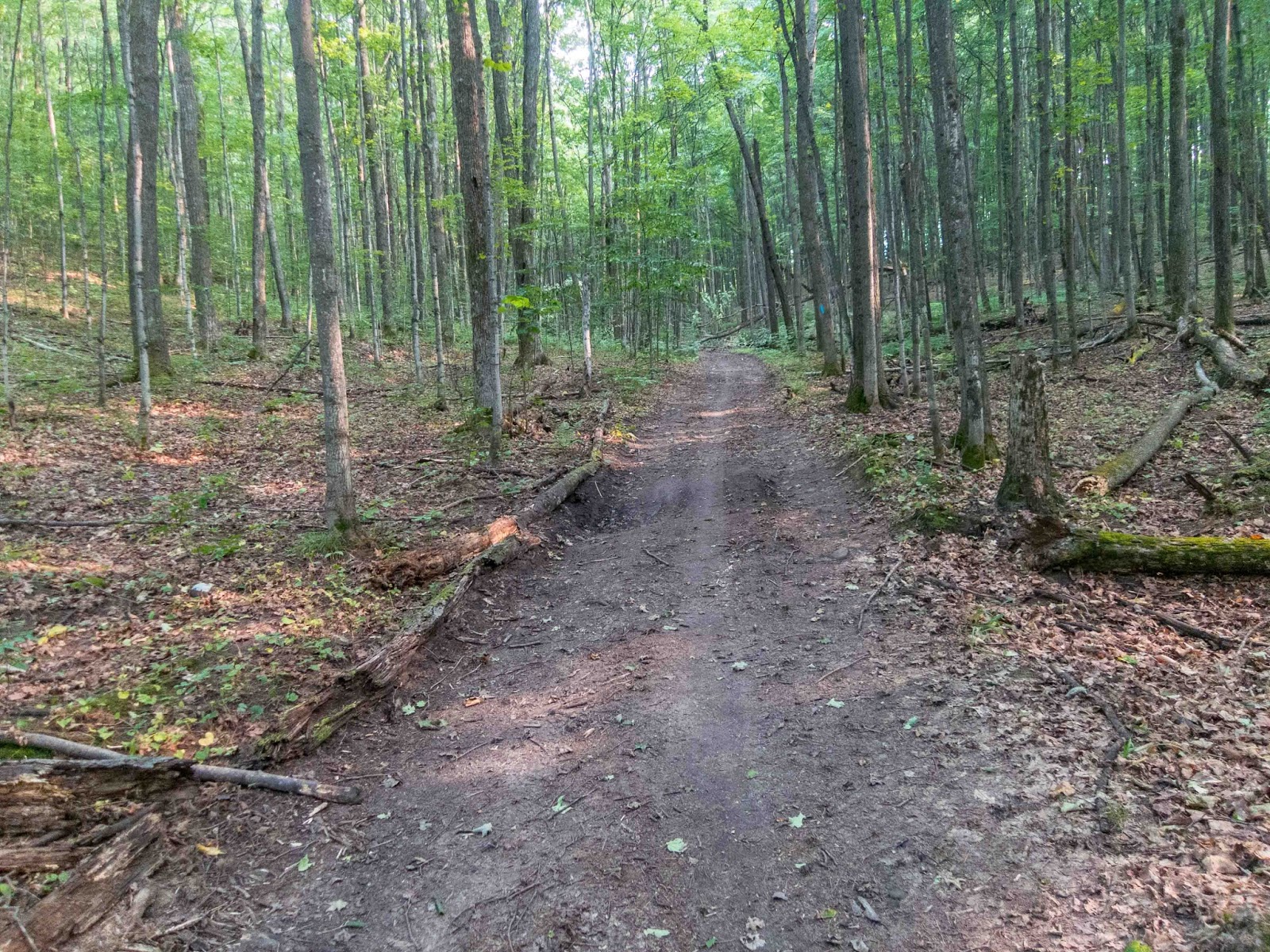
I entered the forest and was pleased by the quality of trail.

I quickly reached some powerlines and there was a distant view.

Back in the forest, it was a pleasant hike.

I hiked through a logging area.

It was interesting to see the forests change as a hiked.

Red Pine Plantation

I found a classic NCT trail marker.


The trail paralleled Valley Road for a short distance.

I came to a clearing with a nice evening view in the clouds.

After crossing Brutus Road, it was soon getting dark and I found a great campsite up on a ridge in the trees. The next morning I awoke to the sun shining through the trees. I did sleep in as I wasn't planning to hike as many miles as previous weekends.

A great place to camp!


Some of the trees in the area were quite large.


The trail followed a scenic stream, one of the few water sources in this section.


In a little over a mile I reached Stutsmanville Road and hiked to the Pleasantview Township Hall.

There is a water pump on the North Side of the building that is the last water source for 15 miles if continuing north to Wycamp Lake. As I didn't plan to hike the road walk, but turn around at Van Road, I needed to hike ~17.5 miles roundtrip without a water source.

After the town hall I continued on the road walk for a half mile.

I re-entered the forest and hiked through a coniferous wetland.


In a short distance I met a trail crew out working on a boardwalk. Many thanks for your hard work!

This section had the most bugs of any during this hike.

Soon I was back in a pine plantation.


Then the forest changed yet again.


This section of the NCT doesn't have the big views of others or the scenery such as the Manistee River, but it remains an excellent hike through a variety of forests and the trail conditions were excellent.

I did see several bikers coming my way.

I came to a nice section with many ferns.

Also, nice flowers.


Soon I reached Van Road.

The beginning of the roadwalk to Wyamp Lake.

I turned around and found a spot to take a much needed break.

As I began my return journey, I came to a spot where the trail follows a two-track.

The sections of NCT have mile markers almost every mile and are posted in both directions.


There was an interesting pile of rocks on the side of the trail.

I passed three friendly day-hikers who were hiking sections up to the Mackinaw Bridge.

Back on the boardwalk.

Back at Stutsmanville Road, like many trailheads, there was a sign with helpful directions.


Back at the Pleasantview Town Hall.

The water pump. Thank you!


Back on the trail, I hiked up on a forested ridge.

Soon I was back at the stream crossing.


As I neared the location of my camp from the night before, there was an extended boardwalk.

There was a large rock beside the trail.


I came to a Nubs Nob trail crossing. Nubs Nob was one of my favorite ski resorts when I was young.


I found a spot to camp less than a mile from the trailhead near a golf course.


Golf Course


Back on the trail, the next morning I enjoyed the short remaining distance of single track.


Then after meeting some day-hikers at the trailhead, I was back on the short road walk.


I wandered over to the Emmett Country Model Airplane Field, but no one was there.


Crooked Lake

Back on the rail trail, there were more people out exercising on a Sunday morning.

There was a trailhead for the Hailand and Helstrom Nature Preserves but I didn't explore.

At one intersection there was a flowing water fountain.

An official marker for the North Western State Trail.

There was also scenic farmland.

Another great view of Round Lake.


I met a biker who asked me if I was hiking the North Country Trail. He was quite interested and had done other hikes on the NCT. A couple others asked if I knew where I was going to camp. I let them know that I was just out for the weekend.

I joined the Little Traverse Wheelway and approached Petoskey State Park. There was an impressive poison ivy village on the side of the trail.

I reached the trail to Petoskey State Park.

I hiked through the campground to the beach.


I followed a trail out of the campground and eventually made it back to the Little Traverse Wheelway.

Across the street I saw the parking lot for Spring Lake Park. I explored the park a little more.

I finished the hike by 10:30 am and drove over to Walmart to buy some food for the next big adventure: the Wind River High Route in Wyoming.
This hike continues to demonstrate the abundance of quality trail that the NCT has to offer in Michigan's Lower Peninsula.