July 8-10, 2016
8 km (Harmony) + 6 km (Tier Lake Loop) + 1 km (Lake Superior Lookout spur), 13.1 km (Stokely), North View (~1.5 km) +~22 km return= ~50+ km roundtrip
When combined the Harmony and Stokely Trails form a nice extended stretch of the Voyageur Trail. Much of the on-trail experience was fairly unspectacular, including significant portions walking on overgrown ski trails. However, the two trails are quite rewarding as they provide some of the finest views I have seen in the Lake Superior region! The Voyageur Trail in this section is typically marked well with white blazes.
I drove up on Friday evening after work. I began my hike on the north end of the Harmony Trail at the A1 access point (per VTA Guidebook) off an unnamed bush road 1.9 km N of Irwin Island Road off Highway 17. There were blazes and a marker on a tree and some overgrown tread. It was raining so I decided to bring my umbrella.

Within a short distance I crossed a power line right-of-way with a nice view.

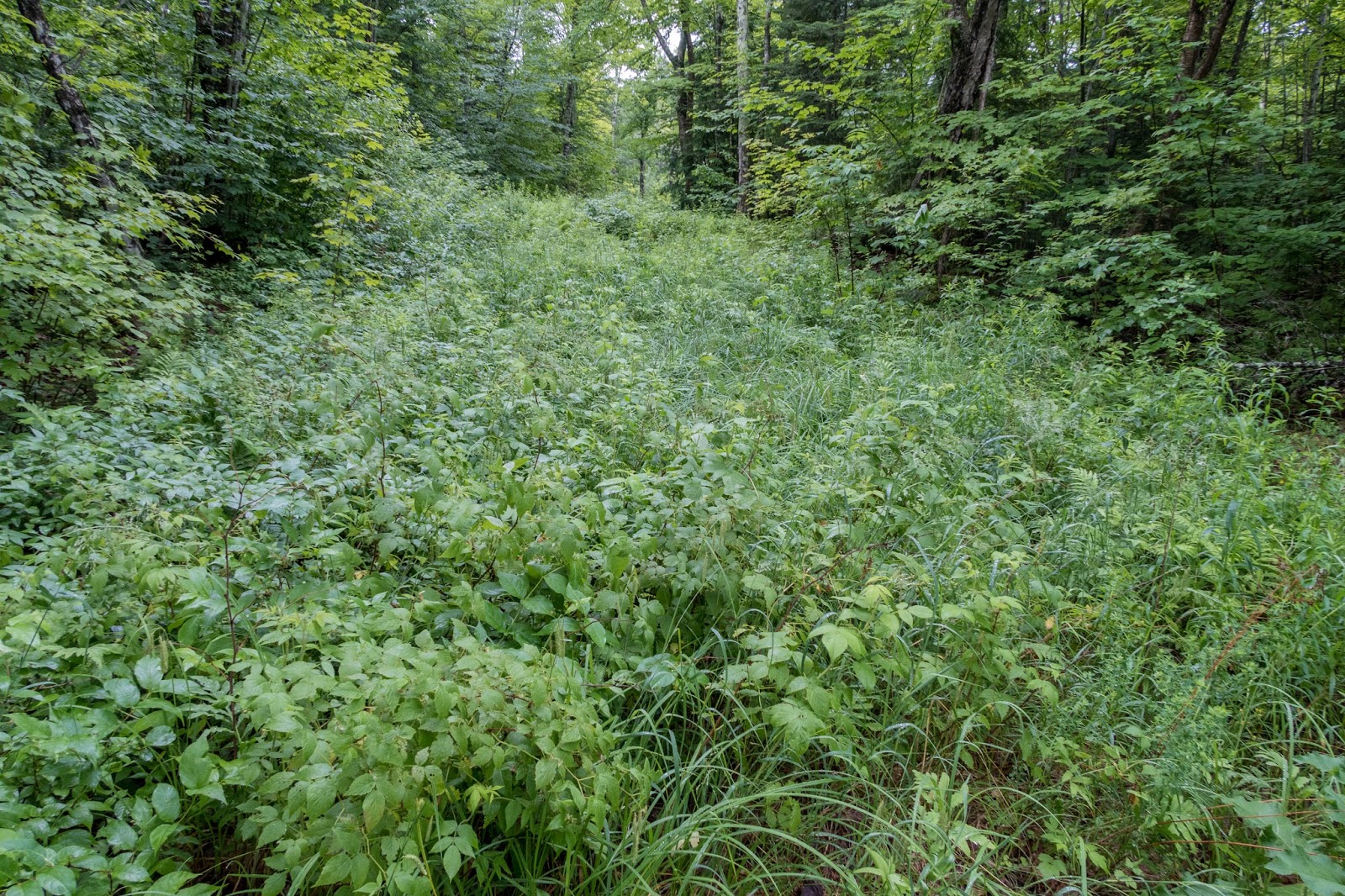
I found the trail on the other side to be quite thick.

The route was hard to see but helpful blazes marked the way.

I thought I found a stream, but due to the rain, it was actually the trail.

It was already getting late so I decided to set up camp at a flat spot near some rocks.

I slept well throughout the night and awoke to a pleasant morning.


Within a short distance I came to a blue blazed side trail that led me steeply 500 meters to a great view from Eagle's Ridge Lookout.


The view from the top was quite dramatic.

I could see across the Harmony River Valley.


There was also a great view of Havilland Bay.


I descended back to the main trail.


Soon I came out to Highway 17 for a short road walk over the Harmony River.

Harmony River

After crossing the river I was unsure where the trail was. I turned down the next road and then saw a blaze a ways off the road.

The trail through this section was quite overgrown, but blazes helped significantly.


I came to a scenic pond.


The trail joined a better track.

I ventured a short distance off-trail to see a large beaver pond.


I came to a view of Sam Lake.


The trail then climbed up to a warming hut that is part of the Stokely Creek Lodge Ski Trail System.

The guidebook reports that the cabin offers "a pleasing lookout over Sam Lake". Maybe the view is less obscured during the winter.

From the warming hut the Harmony Trail joined the trails of the Stokely Creek Lodge.

There was a scenic lake to the east.


The Stokely Creek Lodge Ski Trail system is quite extensive.

I turned right onto the yellow-blazed Tier Lake Loop side trail.

Soon I saw my first views of Tier Lake.

The trail came out to a rocky point and I stopped for a break to enjoy the view.


Tier Lake


The trail went across a beaver lodge.


There was some pleasant hiking beside Tier Creek.


I took another side trail to a fantastic view over Lake Superior.


On the way back I found another distant view.

I could see windmills on the distant ridge.

I rejoined the Tier Lake side trail and continued around the loop.

I came to a beautiful waterfall on Tier Creek.


I continued on the loop back to the Stokely Trail.


The trail came out on the other side of Tier Lake and I could see back to where I was earlier.


There was a nice reflection in a small pond.


I joined the Stokely Trail and continued on wide ski trails to Walker Lake.


Walker Lake


The Voyageur Trail is also part of the Trans Canada Trail.

I crossed a bridge on the outlet from Walker Lake.


There were some colorful flowers beside the trail.


As I neared King Mountain, I entered the Algoma Highlands Conservancy.

There was a scenic waterfall at Stokely Creek.


I followed another trail along the creek to another small waterfall.


I began the climb up King Mountain.

The trail climbed ~300 meters and I reached a junction. I decided to hike over to the Northview. On the way I found an expansive view.

North View from King Mountain


I hiked over to the former location of a tower.


Back on the main trail I continued toward the Robertson Cliffs.


There was a scenic section beside Taylor Creek.

Taylor Creek


The trail was in a forested canyon.

I came out to an expansive view near the Robertson cliffs.


I was soon up on the cliffs with a view all the way to Lake Superior.

Robertson Cliffs


Looking back to King Mountain

The trail stayed near the cliff edge and had many fine overlooks including an impressive pinnacle.


I could see a small house down below.


There was some nice evening light and I stopped to enjoy the view.


I found a trail register on a tree for the Voyageur Trail.


I descended from the cliffs down to Robertson Road.

At the road there are informative signs about the Robertson Cliffs Trail.


I continued around the Robertson Cliff Trail Loop to a waterfall.


I crossed the creek and decided to set up camp.

It was a pleasant campsite and I could barely see the waterfall through the trees.

The next morning I began my return hike.

The trail loop was different than my map indicated and brought me back to the cliffs.

I was excited to see some great early morning views of the cliffs.

All the way to Lake Superior!


I had to leave the cliffs and made my way back through the Taylor Creek Canyon.

The was a portion of trail that was rerouted as a bridge was closed.

Unsafe bridge


I climbed back up King Mountain and this time decided to check out the view from the warming hut.


It was a great view from the impressive lookout platform.

I went to take a look inside the hut and to my surprise found some people still sleeping on the floor. I quietly shut the door.


There was a plaque fixed to the bedrock as a memorial to Steve Taylor who was crucial to the development of this section of the Voyaguer Trail.


King Mountain Hut


Soon I was back at the junction for the trail to the North View. I turned left and continued down King Mountain.


I returned to the waterfall at Stokely Creek.


I took a quick side trip to a warming hut near Walker Lake.


Soon I was back at the bridge near Walker Lake.

Walker Lake


Next, I crossed under some power lines.


I went past the Tier Lake Loop Trail and continued on the Harmony Trail.


I stopped for a break in the hut near Sam Lake.

I bushwhacked over to Sam Lake for a great view.


I discovered that the trail actually went all the way out to Highway 17, but was obscured by some trees.

Highway 17

I could see up to the Eagle's Ridge Lookout.


I decided to take the side trail up to the lookout again.


Eagle's Ridge Lookout


Havilland Bay


I retraced my final couple kilometers through the forest past my first campsite.

Soon I crossed the power lines again.


I reached the northern terminus of the Harmony Trail and my hike was complete.


This hike brought many spectacular views. While the on-trail hiking experience wasn't ideal due to the trail being quite overgrown in places and following ski trails, the exceptional views were more than worth it! The trail was also quite remote and the only people I saw the entire time were the people sleeping in the King Mountain warming hut.
If short on time or wanting to avoid sections of overgrown trail, I highly recommend hiking the Robertson Cliffs Trail as a day-hike. It offers the finest scenery of this section of the Voyageur Trail. For more info see here: http://www.summitpost.org/king-mountain-robertson-lake-cliffs/638673.
Many thanks to the Voyaguer Trail Association for their work on these two excellent trails.
No comments:
Post a Comment