Distance: 34.15 km (21.22 miles). Cumulative: 106.55 km
Paths: Cape Broyle Head (18.3), Brigus Head (6.5), Flamber Head (2.3/11.5)
Communities: Cape Broyle & Admirals Cove (6.7), Brigus South (.35)
I awoke to a clearer day and was hiking by 8:20 am.

Pond by trailhead

I could see the Ferryland Lighthouse that I would have seen the day before. There was a side trail to a view of Meanys Island.

Looking back to Calvert


There was a nice view of Cape Broyle Head which looked like an intimidating climb.


The trail went through an area that had been burned.

It was a steep climb up the Cape. The view at the top was mainly forested.


The trail was parallel to the ridge with some distant ocean views.

From the Top of the Cape I enjoyed a view of Cape Broyle Bay.


I could see across the bay to Brigus Head.
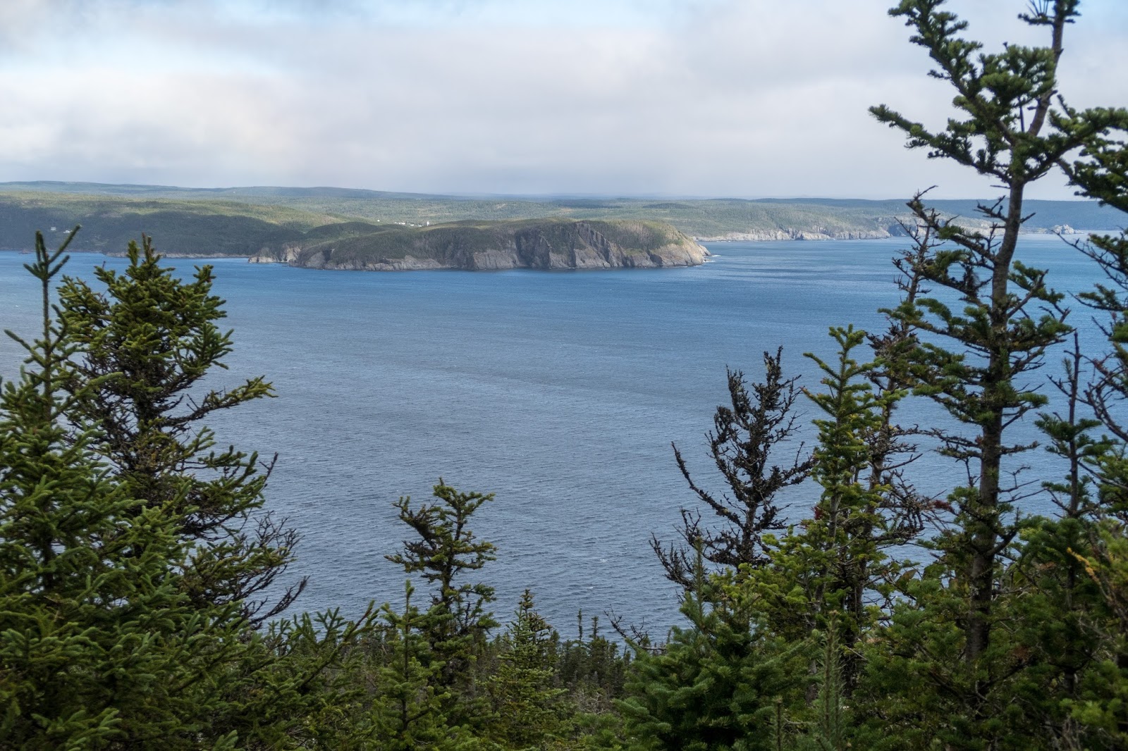
Cape Broyle Bay

Looking up at Cape Broyle Head


A small rainbow was momentarily present.


Shag Rock Cove


Lance Cove

There was a side trail that descended to the beach, one of the best on the entire ECT.


Lance Cove

I noticed a waterfall going over a cliff.


The path finished with a short section of rock hopping along the beach.

There was no northern trailhead nearby. I began the community link through Cape Broyle and Admirals Cove.

Cape Broyle Bay


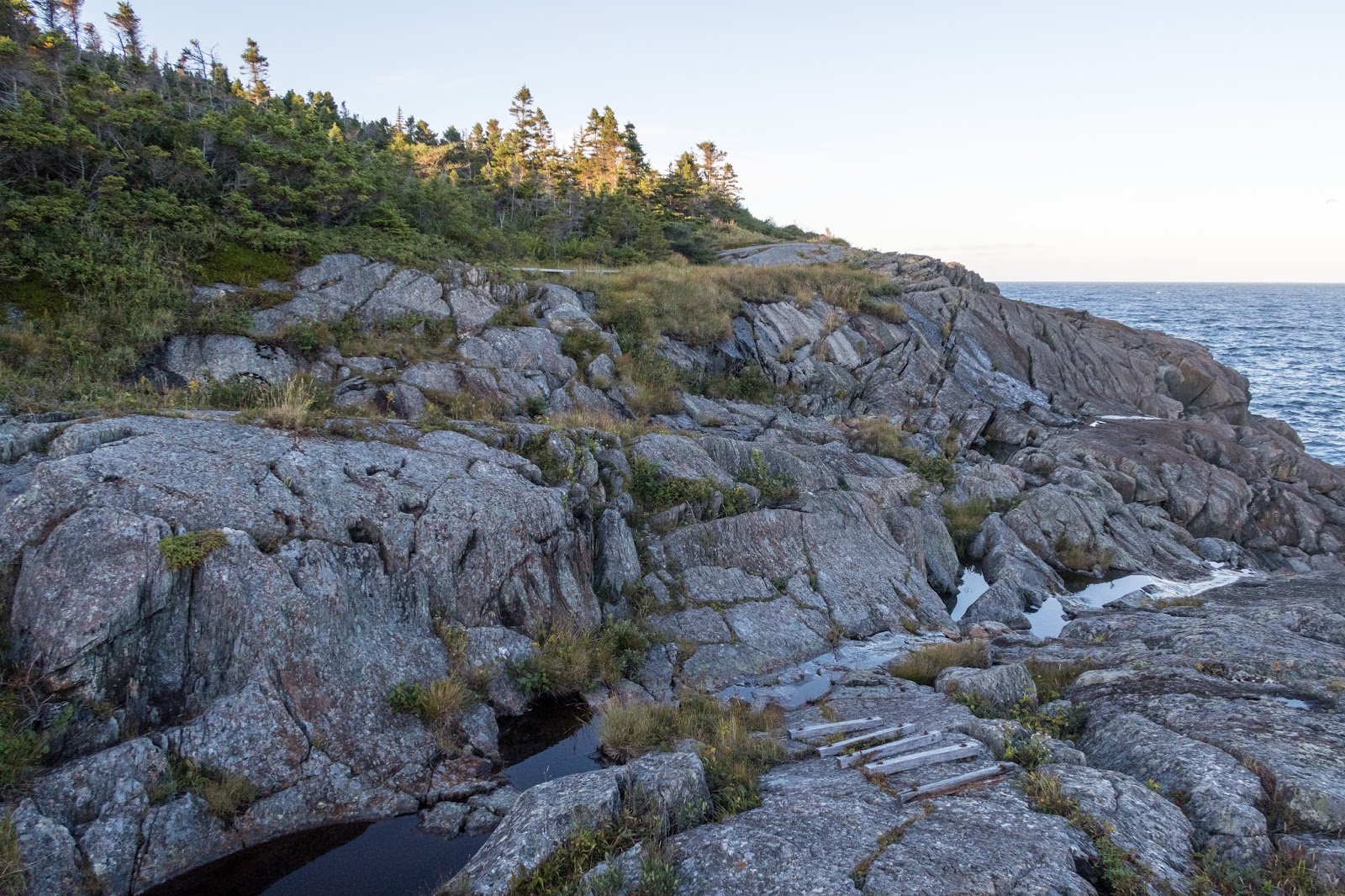
I reached the Brigus Head Trailhead.

The Brigus Head Path was a short but impressive trail.

Looking out Cape Broyle Bay

Cape Broyle Head Trail


Looking back to Cape Broyle Head


Hares Ears Viewpoint

Brigus South


The trail followed an old road.

Brigus South


The community link through scenic Brigus South was only .35 km.

I joined the Flamber Head Path and planned to camp near Deep Cove.


The trail was along the rocky shore in several places.

Evening views of Brigus Head


I could also see Cape Broyle Head behind Brigus Head.


Grumpy Man


Soon I reached Deep Cove.

I found a short side trail to a look out and looked for a place to camp nearby. The trail went to a small open area, but it wasn't level. I dropped my back and went to explore the area. I eventually decided on a fairly level place back in the forest.

It had been a beautiful day on the trail after mostly unpleasant weather the day before. The first three days, I hiked fairly constantly during the day with several breaks to eat. The diminishing time of daylight was making a difference. I hoped to wake up earlier for the sunrise in the morning.

At last, sunshine on your way. My wife and I are going to walk the ECT from mid August to the end of the first week of September 2022. Your comments and phots are very helpful. Merci.
ReplyDeletePierre-Émile